| Magnitude | 4.6 |
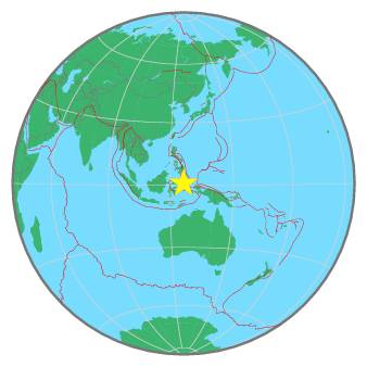
| Region | MOLUCCA SEA |
| Date time | 2021-10-16 10:08:28.2 UTC |
| Location | 0.826 ; 126.242 |
| Depth | 48 km |
| Distance | 171 km ESE of Manado, Indonesia / pop: 451,000 / local time: 18:08:28.2 2021-10-16 127 km W of Ternate, Indonesia / pop: 101,000 / local time: 19:08:28.2 2021-10-16 |
All data providers for this event:
GeoForschungsZentrum (GFZ) -- Potsdam, Germany (GFZ)Badan Meteorologi, Klimatologi dan Geofisika -- Jakarta, Indonesia (BMKG)
Geophysical Survey of the Russian Academy of Sciences -- Obninsk, Russia (GSRAS)
National Earthquake Information Center, U.S. Geological Survey -- Golden, United States (NEIC)
Further information can be found at:
Philippine Inst. of Volcanology and Seismology, Quezon City, Philippines -- Manila, Philippines (PIVS)GeoForschungsZentrum (GFZ) -- Potsdam, Germany (GFZ)
National Earthquake Information Center, U.S. Geological Survey -- Golden, United States (NEIC)
Badan Meteorologi, Klimatologi dan Geofisika -- Jakarta, Indonesia (BMKG)