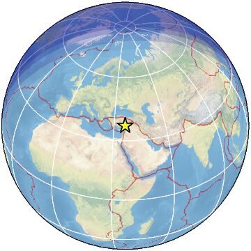
| Magnitude | 4.6 |
| Region | TURKEY-SYRIA BORDER REGION |
| Date time | 2023-02-06 09:23:46.6 UTC |
| Location | 36.980 ; 36.490 |
| Depth | 10 km |
| Distance | 78 km SSW of Kahramanmaraş, Turkey / pop: 376,000 / local time: 12:23:46.6 2023-02-06 24 km ESE of Osmaniye, Turkey / pop: 202,000 / local time: 12:23:46.6 2023-02-06 |
All data providers for this event:
National Research Institute of Astronomy and Geophysics -- Cairo, Egypt (NRIAG)Ukrainian NDC, Main Center of Special Monitoring -- Kyiv, Ukraine (MCSM)
GeoForschungsZentrum (GFZ) -- Potsdam, Germany (GFZ)
Geophysical Survey of the Russian Academy of Sciences -- Obninsk, Russia (GSRAS)
Instituto Portugues do Mar e da Atmosfera -- Lisbon, Portugal (IPMA)
Kandilli Observatory and Earthquake Research Institute -- Istanbul, Turkey (KOERI)
National Earthquake Information Center, U.S. Geological Survey -- Golden, United States (NEIC)
Disaster and Emergency Management Presidency, Earthquake Department (AFAD) -- Ankara, Turkey (AFAD)
Further information can be found at:
Geophysical Survey of the Russian Academy of Sciences -- Obninsk, Russia (GSRAS)Disaster and Emergency Management Presidency, Earthquake Department (AFAD) -- Ankara, Turkey (AFAD)
Kandilli Observatory and Earthquake Research Institute -- Istanbul, Turkey (KOERI)