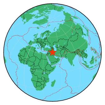
| Magnitude | 4.4 |
| Region | IRAN-IRAQ BORDER REGION |
| Date time | 2018-11-29 13:16:21.9 UTC |
| Location | 34.243 ; 45.718 |
| Depth | 10 km |
| Distance | 94 km NW of Īlām, Iran / pop: 140,000 / local time: 16:46:21.9 2018-11-29 28 km SSW of Sarpol-e Z̄ahāb, Iran / pop: 51,600 / local time: 16:46:21.9 2018-11-29 |
All data providers for this event:
Ukrainian NDC, Main Center of Special Monitoring -- Kyiv, Ukraine (MCSM)Republican Seismic Survey Center or Azerbaijan National Academy of Sciences -- Baku, Azerbaijan (RSSC)
Geophysical Survey of the Russian Academy of Sciences -- Obninsk, Russia (GSRAS)
National Earthquake Information Center, U.S. Geological Survey -- Golden, United States (NEIC)
Institute of Geophysics, University of Tehran -- Tehran, Iran (IGUT)
Further information can be found at:
Geophysical Survey of the Russian Academy of Sciences -- Obninsk, Russia (GSRAS)International Institute for Earthquake Engineering and Seismology -- Tehran, Iran (IIEES)
Institute of Geophysics, University of Tehran -- Tehran, Iran (IGUT)