| Magnitude | 5.2 |
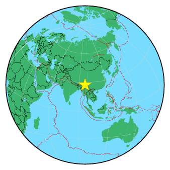
| Region | MYANMAR-INDIA BORDER REGION |
| Date time | 2019-02-10 03:22:09.0 UTC |
| Location | 27.360 ; 96.517 |
| Depth | 40 km |
| Distance | 159 km E of Dibrugarh, India / pop: 122,000 / local time: 08:52:09.0 2019-02-10 72 km SE of Tezu, India / pop: 14,900 / local time: 08:52:09.0 2019-02-10 |
All data providers for this event:
Geoscience Australia, Canberra, ACT, Australia -- Canberra, Australia (AUST)GeoForschungsZentrum (GFZ) -- Potsdam, Germany (GFZ)
Republican Seismic Survey Center or Azerbaijan National Academy of Sciences -- Baku, Azerbaijan (RSSC)
Instituto Portugues do Mar e da Atmosfera -- Lisbon, Portugal (IPMA)
India Meteorological Department, New Delhi, India -- New Delhi, India (NDI)
National Earthquake Information Center, U.S. Geological Survey -- Golden, United States (NEIC)
Centre National de la Recherche Scientifique et Technique -- Rabat, Morocco (CNRST)
National Institute for Earth Physics -- Bucharest, Romania (NIEP)
Ukrainian NDC, Main Center of Special Monitoring -- Kyiv, Ukraine (MCSM)
Laboratoire de Detection et de Geophysique -- Bruyeres-le-Chatel, France (LDG)
Malta Seismic Network, Seismic Monitoring and Research Unit (SMRU), University of Malta -- Imsida, Malta (MLT)
ELKH EPSS Kovesligetyh rado Seismological Observatory -- Budapest, Hungary (BUD)
Badan Meteorologi, Klimatologi dan Geofisika -- Jakarta, Indonesia (BMKG)
Geophysical Survey of the Russian Academy of Sciences -- Obninsk, Russia (GSRAS)
Kandilli Observatory and Earthquake Research Institute -- Istanbul, Turkey (KOERI)
Further information can be found at:
Geophysical Survey of the Russian Academy of Sciences -- Obninsk, Russia (GSRAS)National Earthquake Information Center, U.S. Geological Survey -- Golden, United States (NEIC)
India Meteorological Department, New Delhi, India -- New Delhi, India (NDI)
GeoForschungsZentrum (GFZ) -- Potsdam, Germany (GFZ)