| Magnitude | 3.2 |
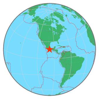
| Region | OAXACA, MEXICO |
| Date time | 2021-01-13 10:45:58.0 UTC |
| Location | 16.360 ; -98.490 |
| Depth | 5 km |
| Distance | 161 km E of Acapulco de Juárez, Mexico / pop: 673,000 / local time: 04:45:58.0 2021-01-13 15 km SSW of Cuajinicuilapa, Mexico / pop: 10,200 / local time: 04:45:58.0 2021-01-13 |
All data providers for this event:
Servicio Sismologico Nacional, Instituto de Geofisica, UNAM -- Mexico City, Mexico (UNM)Further information can be found at:
GeoForschungsZentrum (GFZ) -- Potsdam, Germany (GFZ)Servicio Sismologico Nacional, Instituto de Geofisica, UNAM -- Mexico City, Mexico (UNM)
National Earthquake Information Center, U.S. Geological Survey -- Golden, United States (NEIC)