| Magnitude | 5.1 |
| Region | PHILIPPINE ISLANDS REGION |
| Date time | 2022-06-16 06:08:51.3 UTC |
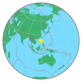
| Location | 17.097 ; 119.938 |
| Depth | 10 km |
| Distance | 103 km NW of Baguio, Philippines / pop: 272,000 / local time: 14:08:51.3 2022-06-16 57 km W of Tagudin, Philippines / pop: 35,700 / local time: 14:08:51.3 2022-06-16 |
All data providers for this event:
National Earthquake Information Center, U.S. Geological Survey -- Golden, United States (NEIC)Philippine Inst. of Volcanology and Seismology, Quezon City, Philippines -- Manila, Philippines (PIVS)
Geoscience Australia, Canberra, ACT, Australia -- Canberra, Australia (AUST)
National Institute for Earth Physics -- Bucharest, Romania (NIEP)
Rede Sismografica Brasileira -- Sao Paulo, Brazil (RSBR)
Ukrainian NDC, Main Center of Special Monitoring -- Kyiv, Ukraine (MCSM)
Seismological Survey of Serbia -- Belgrade, Serbia (BEO)
GeoForschungsZentrum (GFZ) -- Potsdam, Germany (GFZ)
ELKH EPSS Kovesligetyh rado Seismological Observatory -- Budapest, Hungary (BUD)
Badan Meteorologi, Klimatologi dan Geofisika -- Jakarta, Indonesia (BMKG)
Republican Seismic Survey Center or Azerbaijan National Academy of Sciences -- Baku, Azerbaijan (RSSC)
Geophysical Survey of the Russian Academy of Sciences -- Obninsk, Russia (GSRAS)
Kandilli Observatory and Earthquake Research Institute -- Istanbul, Turkey (KOERI)
Further information can be found at:
GeoForschungsZentrum (GFZ) -- Potsdam, Germany (GFZ)Philippine Inst. of Volcanology and Seismology, Quezon City, Philippines -- Manila, Philippines (PIVS)
National Earthquake Information Center, U.S. Geological Survey -- Golden, United States (NEIC)